01
Explore training ↗Train
Practise with recorded or synthetic scenarios and build operator confidence.
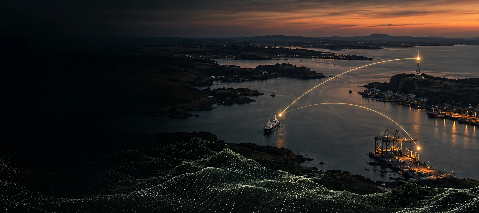
Go beyond the radar display. Mural AI brings detection, tracking and AI-assisted interpretation together to help you recognise what matters and understand what you see.
Discover Mural AI ↗02 / RADAR INTELLIGENCE
Put every detection in context. Combine radar returns with vessel information and terrain to help distinguish relevant activity and build a clearer picture.
Explore the Mural AI advantage ↗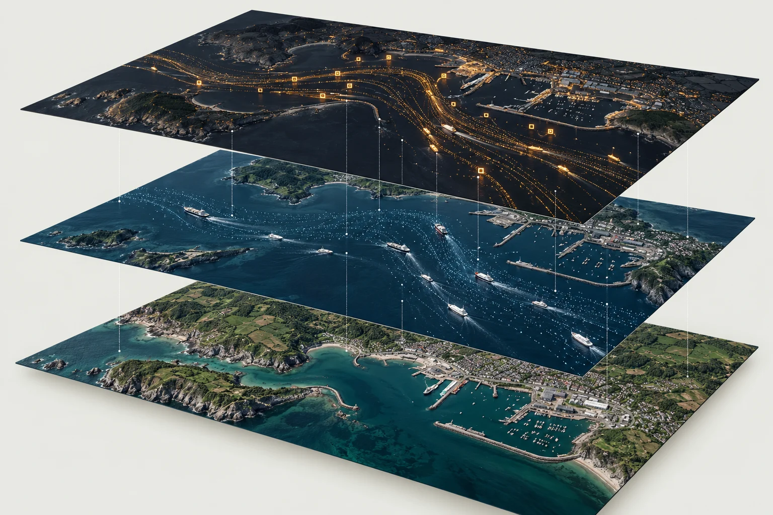
Designed to help operators detect, interpret and review activity. Mural AI adds context and AI-assisted analysis to the radar information your team relies on.
Identify objects of interest and follow their movement.
Interpret activity with signals and context together.
Bring compatible sensors into one shared picture.
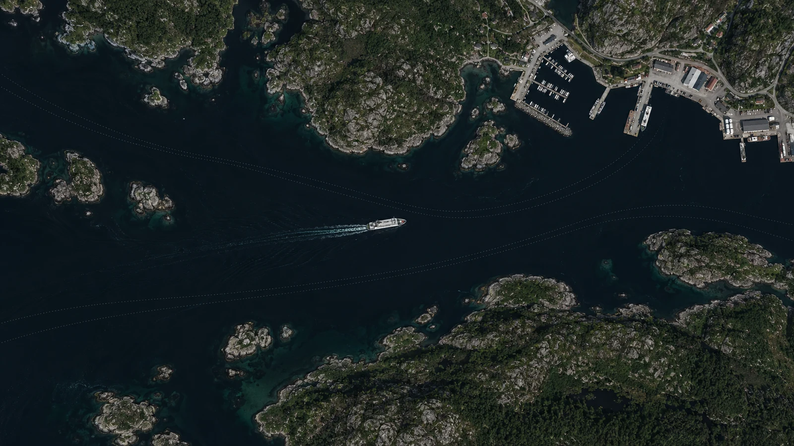
Practise with recorded or synthetic scenarios and build operator confidence.
Revisit events, review the available data and understand decisions.
Use structured debriefs and repeatable exercises to develop your team.